
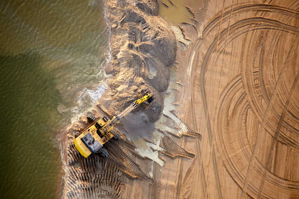
Groundworks
Groundworks
Accurate volumetric measurement, cut & fill validation and topographical surveys for earthworks contractors managing bulk muck-shift, remediation and site preparation.

OUR SERVICES
We provide a complete range of drone survey services for civil engineering, groundworks and infrastructure projects.
From initial site surveys to ongoing progress monitoring and volumetric analysis, our services deliver accurate data that supports better planning, management and reporting.
CORE FEATURES
Every project is delivered with the same precision toolkit — from RTK-enabled capture through to CAD-ready outputs your engineers can drop straight into design software.
Survey-grade GNSS accuracy validated against ground control — typically 25 mm or better across the whole site.
Full-frame and mechanical shutter payloads capture crisp orthomosaics with sub-2cm ground sample distance.
DWG, DXF, LAS, LAZ, GeoTIFF and PDF — everything tied to OSGB36 or your project grid, no proprietary viewers.
Web viewer plus direct download links so PMs, QSs and designers can access data from anywhere within 24–48hrs.
Programmed flight lines re-flown each visit for a like-for-like comparison of progress, volumes and change over time.
CAA Operational Authorisation, £5m public liability and site-specific RAMS mobilised on every job.
WHY IT MATTERS
A drone survey isn't just data — it's leverage. Better information means faster decisions, tighter commercial control and fewer nasty surprises on your next valuation.
One drone visit typically replaces 3–5 days of traditional survey resource — the savings compound across the programme.
Data in your hands within 24–48 hours means design queries, valuations and stakeholder updates never wait on survey.
Independent, timestamped evidence for volumes, progress and as-built conditions protects margins and payment applications.
Shared, visual proof cuts through disagreements between contractor, client and consultant before they escalate.
Board-ready orthomosaics and progress packs raise the quality of your monthly reporting without extra internal effort.
Drone surveys provide more than aerial imagery. They create accurate site records, improve project visibility and help teams access information quickly and efficiently.
Accurate survey data you can rely on for important decisions.
Quick delivery to keep your projects moving forward.
Surveying sites safely and efficiently with minimal disruption.
Clear outputs and reports that support better project outcomes.
A practical team that understands your project needs.
Our services are designed to provide project teams with accurate information at every stage of a project.
High-resolution orthomosaics and aerial mapping for complete site visibility.
Detailed topographical data to support design, planning and analysis.
Measure stockpiles and calculate cut and fill quantities accurately.
Track project progress over time with consistent, repeatable aerial surveys.
Visual inspections and clear reports to highlight issues and track performance.
Data delivered in the formats you need, ready to integrate with your workflows.
SECTORS WE COVER
We deliver drone survey data for teams working across groundworks, construction and civil engineering — tailoring outputs to how each sector plans, builds and reports. From baseline earthworks captures to full-programme progress monitoring, our surveys support commercial certainty and better-informed decisions on every site.
Accurate volumetric measurement, cut & fill validation and topographical surveys for earthworks contractors managing bulk muck-shift, remediation and site preparation.

Site-wide progress mapping, orthomosaic records and inspection reporting that keep project managers, QSs and clients aligned on active construction sites.
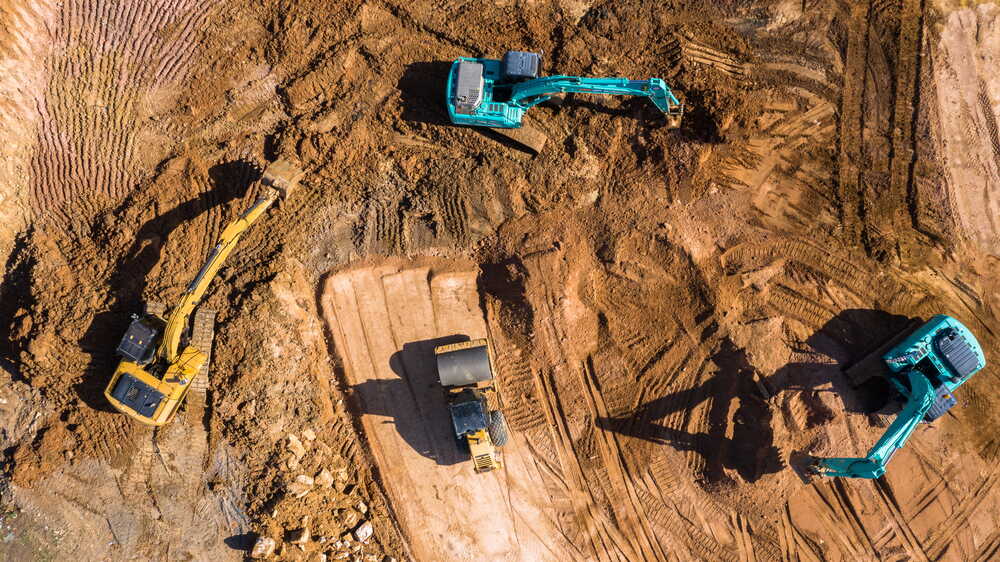
Survey-grade point clouds, DTMs and CAD-ready deliverables for consultants and contractors on highways, rail, utilities and infrastructure schemes.
Five reasons project teams across the UK choose us for civil engineering and groundworks surveys.
We work exclusively across civil engineering, groundworks and infrastructure projects across the UK every single day.
Survey-grade drones, RTK and PPK positioning, and specialist processing software calibrated for accurate results.
Standardised workflows and rigorous quality checks deliver outputs you can trust for measurement and reporting.
A named point of contact, clear scopes and straightforward updates from your first call through to data delivery.
We treat every survey as part of your wider project, focused on outcomes, programme and commercial certainty.
SPEAK TO A SPECIALIST
Skip the form — pick up the phone and speak directly to a specialist who understands civil engineering and groundworks projects. We'll answer your questions, scope your survey and provide a fixed, no-obligation quote in minutes.
Mon–Fri · 8am–6pm · UK Wide
How aerial survey stacks up against a boots-on-the-ground team on cost, speed, safety and programme certainty.
From ~£600 — a single half-day visit covers capture, processing and reporting.
£2,500–£5,000 — multi-day crew, chainmen, welfare and transport all billable.
2–4 hours capture, deliverables in 24–48 hours.
2–5 days on site, plus 5–10 days for CAD drafting and QA.
Millions of measured points across the entire site — full orthomosaic + point cloud.
Hundreds of discrete spot heights interpolated between measured points.
No surveyors near live plant, excavations, traffic or unstable ground — zero exposure.
Team physically walks the site, exposed to plant movements, edges and weather.
Repeatable flight paths give like-for-like monthly captures — perfect for valuations.
Different crews, different weather days, subtle methodology drift over the programme.
Minimal — flights slot around plant movements without stopping operations.
Requires exclusion zones, plant standdowns or work sequencing around the crew.
Timestamped photography + measurable data — indisputable visual record.
Written report only — limited visual context for downstream claims.
Pricing and timings are indicative UK market averages for civil engineering & groundworks sites — every project is quoted individually.
Knowing when to deploy aerial survey support is often the difference between catching an issue early and discovering it on a valuation.
Capture a baseline of existing site conditions before any works begin — protecting you commercially and informing the construction phase plan.
Schedule recurring flights during muck-shift and bulk earthworks to validate cut/fill volumes and avoid lorry-load disputes.
Align surveys with valuation dates so QSs and contracts managers have independent evidence to support applications and assessments.
Produce a clear visual and topographic record at PC for client handover, defects management and future asset reference.
Each output is matched to how your engineers, planners and commercial teams already work — no proprietary viewers required.
GET IN TOUCH
Complete the form below and we'll get back to you shortly.
UK drone survey pricing typically starts from around £600 for a small single-visit site and scales with site area, deliverables, accuracy requirements, travel and any repeat visits for progress monitoring. Larger civil engineering and groundworks projects are quoted per phase. Every quote is fixed, itemised and no obligation so you know exactly what is included.