
Drone Surveys
High-resolution aerial imagery and mapping for site visibility, planning and analysis.
Learn More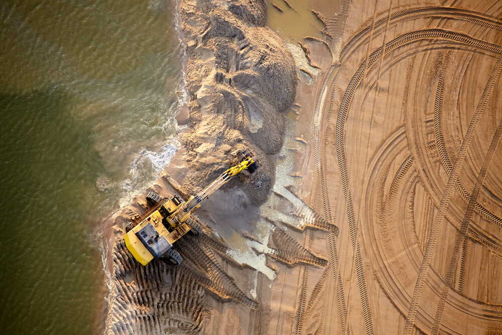
CONTACT US
Whether you need a one-off drone survey or ongoing project support, our team is here to help.
Tell us about your project and we'll get back to you within 1 business day.
A simple, four-step process from enquiry to delivered survey data.
We'll review your project requirements and information.
We'll schedule a short call to understand your needs.
We'll recommend the best survey solution for your project.
We capture, process and deliver accurate data and reports.
We respond to all enquiries within one business day, and usually much sooner.
A complete range of services to support every stage of your project.
High-resolution aerial imagery and mapping for site visibility, planning and analysis.
Learn MoreTrack progress over time with regular surveys and visual reporting.
Learn MoreAccurate volume calculations for stockpiles, excavations and earthworks.
Learn MoreBook a discovery call or request a quote today and our team will be in touch.