
DRONE SURVEY SERVICE
Volumetric Surveys & Cut & Fill
Accurate volumetric measurement of stockpiles, excavations and material movements — plus full cut and fill analysis against your design surface.
Independent, timestamped evidence for QSs, commercial managers and asset owners who need to trust the numbers on every valuation.
OVERVIEW
What Is A Drone Volumetric Survey?
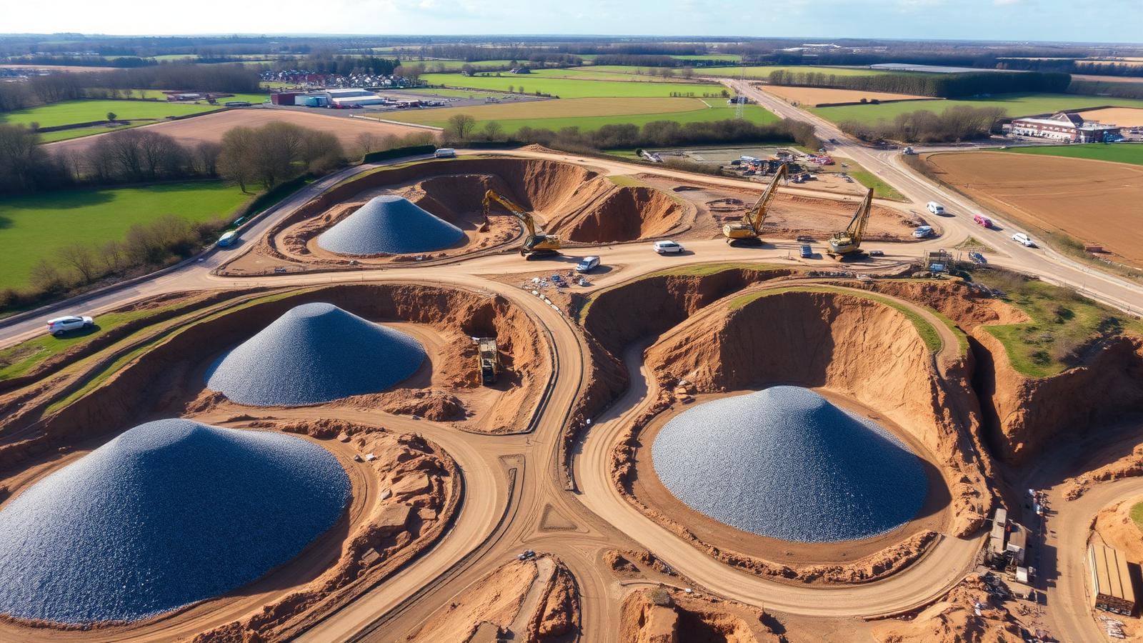
A volumetric survey captures the exact 3D shape of a stockpile, excavation or bulk earthworks area using drone photogrammetry. Because we build a dense 3D model of the material, volumes are calculated from millions of measured points rather than a handful of ground-level shots.
For cut and fill, we compare the as-flown surface against your design surface or a previous survey to give you exact cubic-metre quantities of cut, fill, and net movement — colour-mapped so you can see where earthworks are ahead or behind the design.
FEATURES
What's Included In A Volumetric Surveys & Cut & Fill Survey
Every volumetric surveys & cut & fill project is delivered end-to-end — from RTK-controlled capture through to CAD-ready outputs your team can use immediately.
Stockpile Measurement
Individual and total stockpile volumes with grade and material tagging.
Cut & Fill Analysis
As-flown vs. design surface comparison with cut, fill and net volumes reported.
Colour-Mapped Reports
Heat-mapped visuals showing where the site is over- or under-cut against design.
Repeat Captures
Monthly or milestone flights track material movement across the whole programme.
Survey-Grade Accuracy
RTK/PPK plus ground control — typically 25mm accuracy in the vertical.
Auditable Evidence
Timestamped, independently captured data suitable for valuation and dispute resolution.
LEARN MORE ABOUT OUR SERVICES
Volumetric Surveys & Cut & Fill
Accurate stockpile volumes and cut & fill analysis to keep earthworks on budget and on programme.
WHY IT MATTERS
Benefits Of Drone Volumetric Surveys & Cut & Fill
How this service moves the needle on your programme, budget and commercial position.
Commercial Certainty
QSs price valuations from real measured evidence, not visual estimates or tally sheets.
Protect Your Margin
Independent volume data protects payment applications and final account positions.
Faster Valuations
Monthly quantities in your inbox 24–48 hours after the flight — never a bottleneck.
Fewer Disputes
Shared, visual, timestamped evidence cuts arguments off before they escalate.
SPEAK TO A SPECIALIST
Prefer To Talk It Through? Call Our Survey Team Today
Skip the form — pick up the phone and speak directly to a specialist who understands civil engineering and groundworks projects. We'll answer your questions, scope your survey and provide a fixed, no-obligation quote in minutes.
Mon–Fri · 8am–6pm · UK Wide
THE PROBLEM WE SOLVE
The Problem It Solves
Stockpile and earthworks volumes measured by eye or by tally lorry are inconsistent, disputed and often wildly wrong — especially at month-end when valuations are due.
A drone volumetric survey gives you a single, defensible, timestamped set of volumes — captured independently, calculated in industry-standard software and delivered with a full audit trail.
- Accurate month-end valuations
- Protected margins and payment applications
- Independent evidence in the event of a commercial dispute
EXPLORE MORE
Part Of Our Full Drone Survey Service
Volumetric Surveys & Cut & Fill is one of six specialist drone survey services we deliver to civil engineering, groundworks and infrastructure teams across the UK.
GET IN TOUCH
Let's Discuss Your Project
Whether you require a one-off drone survey or ongoing project reporting, we're here to help.
Volumetric Surveys & Cut & Fill FAQs
Drone volumetric surveys typically achieve vertical accuracy of around twenty-five millimetres, calculated from millions of measured points on the stockpile or excavation surface. Because we compare a dense 3D model against a defined base plane or design surface, the resulting cubic-metre volumes are far more reliable than any tally-based estimate or visual site guess.