
DRONE SURVEY SERVICE
Topographical Surveys
Survey-grade topographical data captured by drone — DTMs, DSMs, contours and point clouds ready for design, planning and earthworks modelling.
A modern alternative to traditional ground topo surveys, delivered in a fraction of the time with far greater density of measurement.
OVERVIEW
What Is A Drone Topographical Survey?
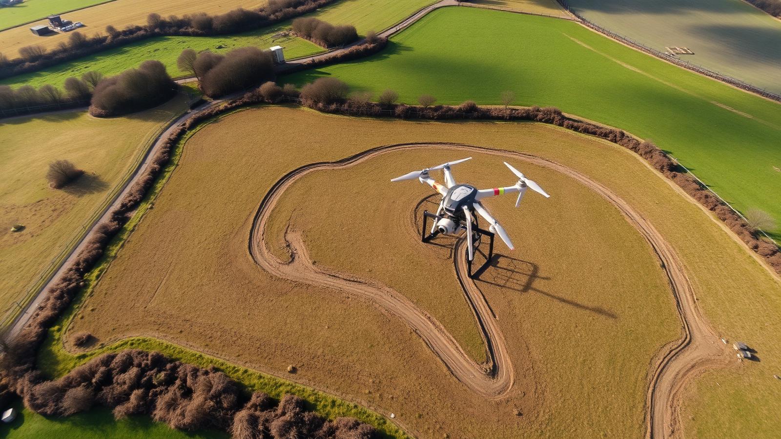
A drone topographical survey uses photogrammetry — and optionally LiDAR — to model the exact shape of the ground and everything on it. Millions of measurement points are captured in a single flight, producing a dense, accurate 3D model of your site.
From that model we derive digital terrain models (bare-earth), digital surface models (as-flown surface), contours at your specified interval, break lines and CAD-ready strings. Everything is tied to survey control so it drops straight into Civil 3D, AutoCAD or your BIM environment.
FEATURES
What's Included In A Topographical Surveys Survey
Every topographical surveys project is delivered end-to-end — from RTK-controlled capture through to CAD-ready outputs your team can use immediately.
25mm Survey-Grade Accuracy
RTK/PPK positioning validated against ground control points across the site.
DTM & DSM Delivered
Both bare-earth and surface models supplied so you can model design against reality.
Dense Point Cloud
Hundreds of points per square metre — orders of magnitude denser than traditional topo.
Custom Contour Intervals
250mm, 500mm or bespoke intervals to match your design standards.
CAD-Ready Output
DWG, DXF, LAS/LAZ and GeoTIFF exports tailored to your engineer's workflow.
OSGB36 or Local Grid
Tied to national grid or your project's site grid — no coordinate headaches.
LEARN MORE ABOUT OUR SERVICES
Topographical Surveys
Precise, CAD-ready topographical data captured faster and safer than traditional ground survey methods.
WHY IT MATTERS
Benefits Of Drone Topographical Surveys
How this service moves the needle on your programme, budget and commercial position.
Days, Not Weeks
Full topo of a 10-hectare site captured in a morning and delivered in 24–48 hours.
More Detail, Better Design
Every ditch, bund and access track is measured — designers spot issues before they hit site.
Lower Survey Cost
Comparable projects delivered at a fraction of the cost of a traditional total-station survey.
Safer Data Capture
No surveyors walking live plant, live traffic or steep unstable ground.
SPEAK TO A SPECIALIST
Prefer To Talk It Through? Call Our Survey Team Today
Skip the form — pick up the phone and speak directly to a specialist who understands civil engineering and groundworks projects. We'll answer your questions, scope your survey and provide a fixed, no-obligation quote in minutes.
Mon–Fri · 8am–6pm · UK Wide
THE PROBLEM WE SOLVE
The Problem It Solves
Traditional topographical surveys are slow, expensive and sparse. Engineers end up designing against limited point data and often discover surface issues after construction has already started.
Dense, drone-captured topographical data gives your design team a complete surface model with millions of measured points, so earthworks quantities, drainage design and level setting are built on real evidence.
- More accurate earthworks quantities at tender stage
- Fewer surprises during setting-out
- Reliable baseline for future progress comparisons
EXPLORE MORE
Part Of Our Full Drone Survey Service
Topographical Surveys is one of six specialist drone survey services we deliver to civil engineering, groundworks and infrastructure teams across the UK.
GET IN TOUCH
Let's Discuss Your Project
Whether you require a one-off drone survey or ongoing project reporting, we're here to help.
Topographical Surveys FAQs
A drone topographical survey captures millions of measured points across a site in a single flight, whereas a traditional ground topo typically records a few thousand spot heights over several days. You get denser, more accurate terrain data delivered in twenty-four to forty-eight hours, at a fraction of the cost, with no surveyors walking live plant.